National Geographic Maps Trails Illustrated #132 Gunnison, Pitkin
Out of stock
Only %1 left
SKU
9781566953962
National Geographic's Trail Illustrated map of Gunnison and Pitkin offers unparalleled detail for outdoor enthusiasts exploring this scenic area on the western slope of the Colorado Rockies.
Expertly researched and created in partnership with the U.S. Forest Service and others, #132 covers parts of Gunnison National Forest, Fossil Ridge Wilderness and Recreation Management Areas, Roaring Judy State Wildlife Area and the city of Gunnison. The map features many points of interest, including Taylor and Gunnison Rivers; Flat Top; Square Top and Fossil Mountains; and Tomichi Creek.
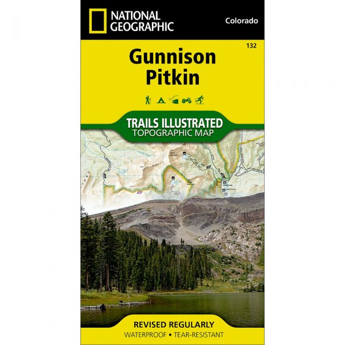
- Clearly marked trails, Forest Service roads and BLM routes
- Trails labeled according to their designated use: hiking, biking, mountain biking, ATVing, snowmobiling, etc.
- Contour lines with elevations, labeled summits, peaks and passes, water features, selected waypoints and clear boundaries between public and private land
- Trailheads, campgrounds, fishing holes, cross-country ski areas and wildlife viewing areas
- Leave No Trace guidelines, wilderness regulations and survival tips
- Printed on "Backcountry Tough" waterproof, tear-resistant paper
- Full UTM grid is printed on the map to aid with GPS navigation
| Dimensions | Folded - 4 x 7.5 in Open - 22 x 32 in |
| Scale | 1:40,680 |
| Last Revision | 2010 |
30620
Related Products