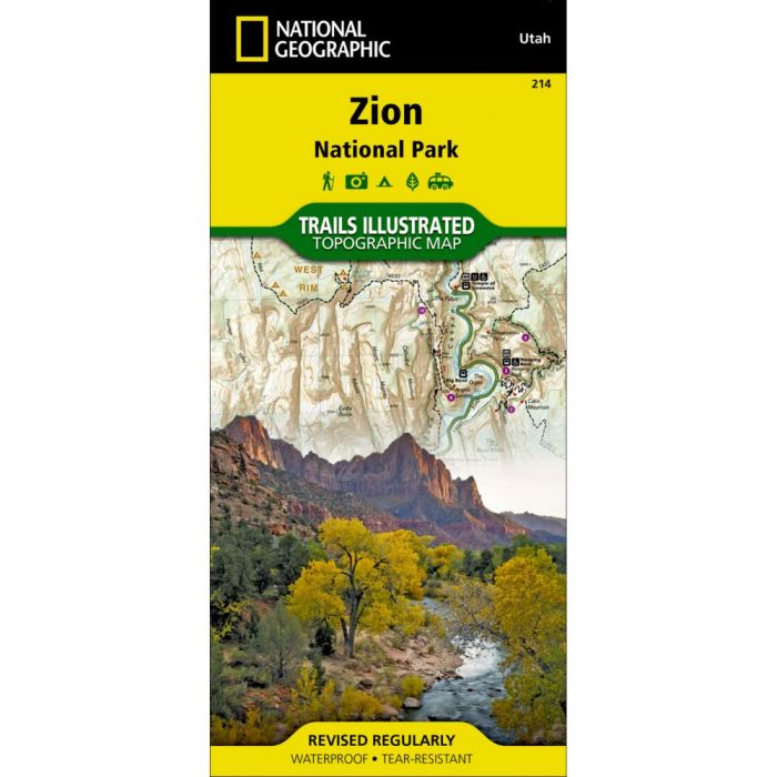
National Geographic Maps Trails Illustrated #214 Zion National Park
Out of stock
Only %1 left
SKU
9781566952972
Explore the beauty and geological wonder of Utah’s first national park with National Geographic Map’s Trails Illustrated #214 of Zion National Park.
Created in partnership with local land management agencies, this expertly researched map combines unmatched detail with useful information to help you get the most from your visit, including a chart detailing the extraordinary geology of Zion and a companion hiking timetable for the popular Zion Narrows. Key areas of interest featured on this map include: Zion Narrows, Kolob Canyons, La Verkin Creek Trail, Hop Valley Trail, Wildcat Canyon, West Rim Trail, Floor of the Valley Road, East Rim Trail, Telephone Canyon, and the Virgin River.
- Nearly 90 miles of mapped trails, trail summaries, and information about camping, lodging, and shuttles
- Trails are clearly marked and include mileages between intersection
- Map base includes contour lines and elevations for summits, passes and major lakes
- Includes campgrounds, trailheads, parking lots, designated campsites, and interpretive trails
- Printed on "Backcountry Tough" waterproof, tear-resistant paper
- Full UTM grid is printed on the map to aid with GPS navigation
| Dimensions | Folded - 4.25 x 9.25 in Open - 25.5 x 37.75 in |
| Scale | 1:37,700 |
| Last Revision | 2012 |
30575