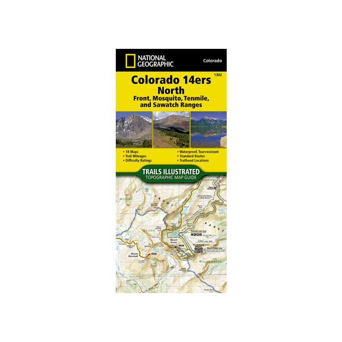
National Geographic Maps Trails Illustrated #1302 Colorado 14ers North
National Geographic Maps Trails Ilustrated #1302 Colorado 14ers North is a topographic map guide that provides accurate and convenient maps for the fourteeners of the Front, Mosquito, Tenmile, and Sawatch ranges of northern Colorado. Almost half of Colorado’s fourteeners fall in these ranges, but their proximity to large population centers leave no shortage of hikers on their slopes.
Each map page provides statistics including mileages, elevations and directions to trailheads. Route information includes climbing class and points of reference. The maps include both 2WD and 4WD trailhead locations for the standard route. Printed on "Backcountry Tough" waterproof, tear-resistant paper with stainless steel staples. A full UTM grid is printed on the map to aid with GPS navigation.
- Provides the most accurate and convenient set of maps for the fourteeners of the Front, Mosquito, Tenmile, and Sawatch ranges of northern Colorado
- Almost half of Colorado's fourteeners fall in these ranges
- Provides accurate trail statistics including trail mileages, total elevation gain and loss, trailhead elevations and elevations at trail junctions, and directions to trailheads
- Route information includes climbing class (i.e. difficulty rating) and points of reference along the route
- The maps include both 2WD and 4WD trailhead locations for the standard, recommended route
| Dimensions | 4.25 x 9.38 in |
| Scale | 1:40,680 & 1:63,360 |
| Last Revision | 2017 |
| ISBN # | 9781566956994 |