Sky Terrain Maps Sangre De Cristo and Great Sand Dunes National Park - 4th Edition
Out of stock
Only %1 left
SKU
0966550838
Sky Terrain Trail Maps' Sangre De Cristo and Great Sand Dunes National Park is a 1:60,000 medium scale map that covers hundreds of thousands of acres in the Rio Grande & San Isabel National Forest, from Hayden Pass south to Blanca Peak:Including the 14ers: Blanca Peak, Crestone Peak, Crestone Needle, Humboldt Peak, Kit Carson, Little Bear Peak, Mount Lindsey; 13ers: Electric Peak, Horn Peak, Rito Alto Peak, Mt Adams, Comanche Peak, and dozens of others. Also mapped: the Huerfano Basin, San Luis Valley, Great Sand Dunes, Lakes of the Clouds, Hayden, Medano, Mosca & Music Pass, Rainbow Trail, Valley View Hot Springs, and more.
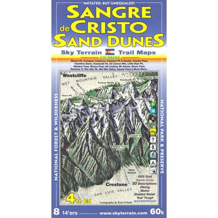
- First topographic trail map of this area with great cartography
- Waterproof and tear tough
- Symbolic trail ratings for easy, moderate, and difficult levels
- 50 trail descriptions highlight key features, with UTM index, trail lengths, elevations
- Contours in easily counted intervals of 100 feet
- UTM & Latitude, Longitude coordinates for use with GPS
- Advanced topographic shading and elevation tints reveal the stunning region in a never before seen light
- Newly mapped and named rock features and waterfalls
- Sheet size = 24" x 39"
- Folds to 4" x 8"
30624