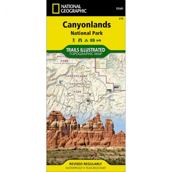
National Geographic Maps Trails Illustrated #210 Canyonlands National Park
Out of stock
Only %1 left
SKU
9781566953269
National Geographic Map’s Trails Illustrated #210 of Canyonlands National Park is designed to meet the needs of outdoor enthusiasts by combining valuable information with unmatched detail of this mesmerizing landscape of river canyons and fantastically formed buttes.
Expertly researched and created in partnership with local land management agencies, this map is loaded with helpful information on the park’s archaeology, Glen Canyon, Horseshoe Canyon, backcountry safety, park regulations and more. Key areas of interest featured on this map include Canyon Rims Recreation Area; Glen Canyon National Recreation Area; the Island in the Sky district; the Needles district; and the Maze district.
- Clearly marked trails include mileages between intersections
- River mileage on the Colorado and Green rivers noted for exploring the winding river canyons by boat
- Includes visitor centers, campgrounds, points of interest, scenic overlooks, and boat launch sites
- Map base includes contour lines and elevations for summits and passes
- Printed on "Backcountry Tough" waterproof, tear-resistant paper
- Full UTM grid is printed on the map to aid with GPS navigation
| Dimensions | Folded - 4.25 x 9.25 in Open - 25.5 x 37.75 in |
| Scale | 1:70,000 |
| Last Revision | 2008 |
29768